
Guelph Then & Now · 1827 to today
The Ward: How Guelph's Industrial Past Shaped Its Homes
Factories, railway tracks, narrow lots and generations of working families helped create one of Guelph's most distinctive neighbourhoods.
By Carmen Lombardi · November 2026 · About 6–7 minutes · Part of Guelph Then & Now
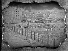 Then · 1855
Walk through Guelph's Ward today and you can still read its history in the streets. Modest homes stand close to the sidewalk. Some lots are unusually narrow. Old brick factories sit near residential blocks, and the street pattern changes direction in ways that feel less orderly than a modern subdivision. These details are not accidental. They tell the story of a neighbourhood built around work.
A neighbourhood beyond the original town
When John Galt established Guelph in 1827, the land that would become much of St. Patrick's Ward lay outside the original town plan. Expansion brought new development east of the Speed River and south of the railway. Mills and workshops were already taking advantage of the river, but the arrival of railway infrastructure created another reason for manufacturers to locate nearby. The result was not a neighbourhood planned only for houses. It was a place where employment, transportation and daily life developed together.
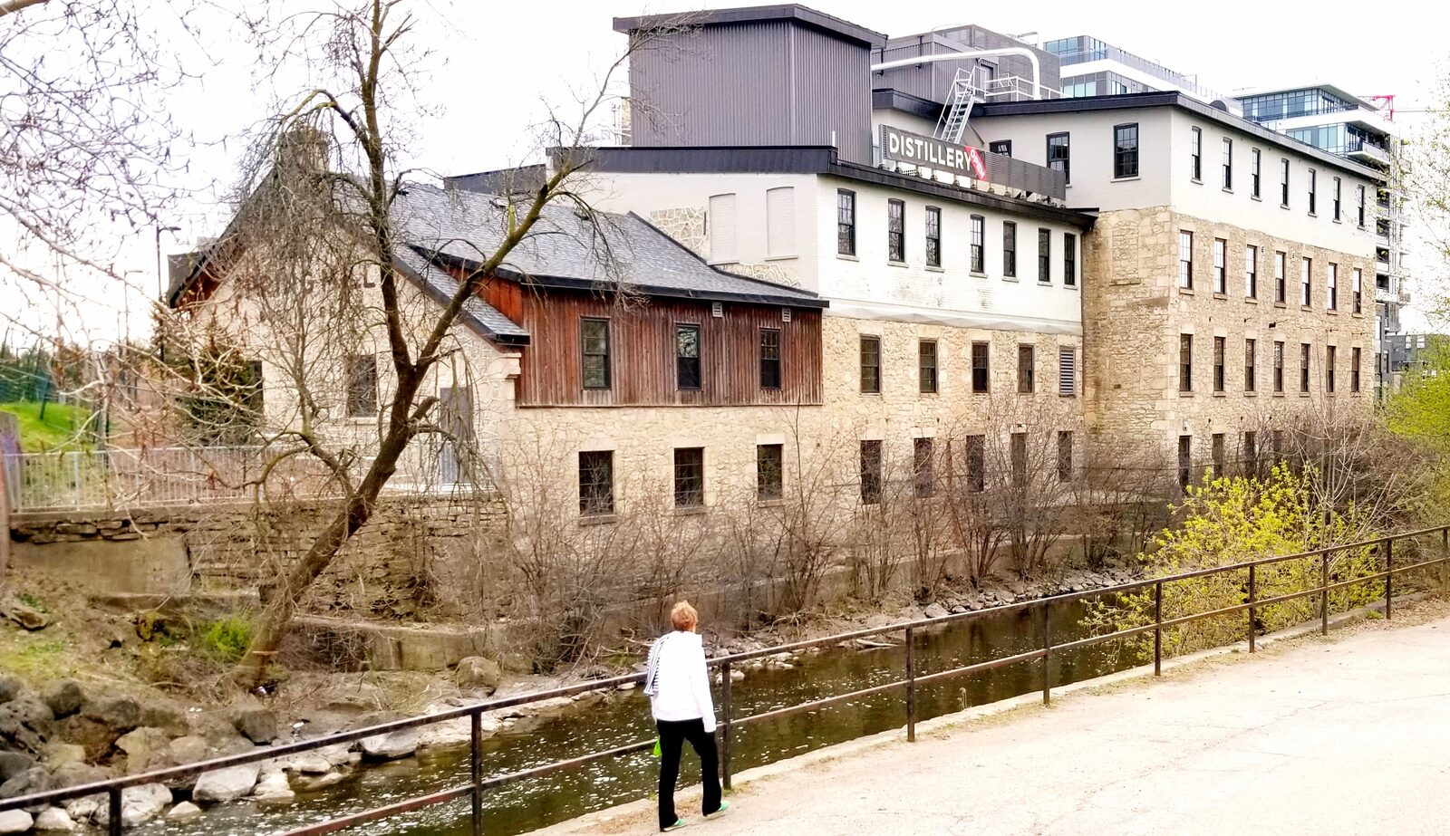 2020
The businessman who sold land beside factories
In the early twentieth century, publisher and developer James Walter Lyon helped accelerate that pattern. A City of Guelph historical account describes Lyon buying approximately 400 acres in 1906 and offering land to manufacturers as an incentive to locate there. His business model depended partly on selling surrounding residential lots to people who wanted to live close to those workplaces. The Ward therefore grew as a mixed industrial and residential district by design—not simply because factories arrived later beside existing homes.
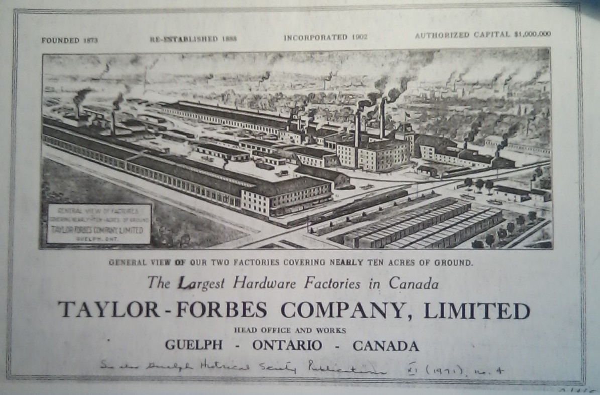 1924
Why are the lots so narrow?
One of the most revealing physical traces is the lot width. A City land-use study describes Lyon's worker-housing subdivisions with frontages of roughly 25 feet. Small parcels made homeownership or housing development possible on a limited footprint, and they put more households within walking distance of the factories. They also produced the close-set houses and fine-grained streetscape that remain recognizable today. Not every house is original, and not every street follows the same pattern, but the underlying land divisions help explain why this neighbourhood feels different from newer parts of Guelph.
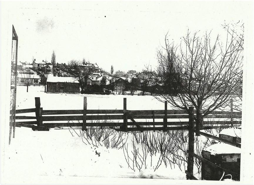 c. 1890–1920
The railway was more than a route through town
Rail connections helped factories move materials and finished products. Guelph's Junction Railway, established in 1888, supported industrial expansion, and additional rail infrastructure helped make factory sites attractive. For the people who lived in the Ward, those tracks were part of the local economy and landscape. They were one reason work could concentrate here—and why housing grew around it.
The families behind the brick and machinery
The Ward's story is also one of newcomers. Employment in the factories attracted immigrants, including many Italian families, along with people from other European communities. Homes, small shops and informal family networks grew around the places where people worked. The neighbourhood developed a strong working-class identity. That identity was not just architectural: it was built through labour, community institutions, and families supporting one another across generations.
Progress came with real costs
Living close to work brought convenience, but industrial-era planning was not always healthy or comfortable. Historical studies document sanitation problems and contaminated water associated with inadequate early infrastructure. The Ward's low-lying geography also created flood risk. It would be misleading to romanticize every part of its past. The same development pressures that made the area affordable to workers also left residents facing conditions that later generations would work to improve.
A factory becomes a home
The former Guelph Carpet and Worsted Spinning Mills complex offers a vivid example of change. The brick industrial buildings at Cross Street and Ontario Street developed in stages in the early twentieth century. Textile production continued for decades; the mill later saw other uses. In the 2000s, part of the complex was converted into condominium lofts known as the Mill Lofts. A building associated with industrial employment became a residential address—while preserving a visible piece of the neighbourhood's manufacturing history.
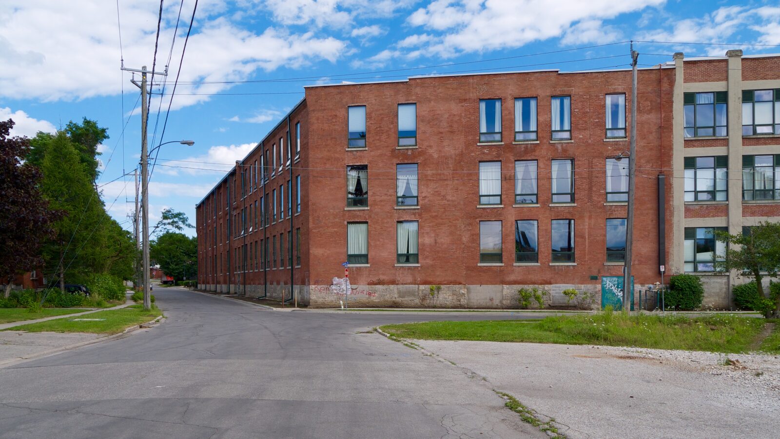 2015
The story is still being written
The Ward has changed, and discussions about redevelopment, preservation and affordability continue. But the neighbourhood's original mixture of homes, workplaces and community life is still legible on the ground. Look closely at the width of a lot, the alignment of a street or the brickwork of an old mill, and you may be looking at a surviving clue to how Guelph grew.
Sources
- City of Guelph — Ward West Heritage Conservation District Study (2025)
- City of Guelph — St. Patrick's Ward Land Use Strategy
- City of Guelph — Downtown Secondary Plan, Appendix: Brief History of the Ward
- Guelph Museums — #AskACurator: Ward's in a Name?
- Guelph Heritage — Mill Lofts, 45 Cross Street and 26 Ontario Street
- Guelph Heritage — St. Patrick's Ward
- The Ward Project — Digital history exhibits
- The Ward Project — Taylor-Forbes Company Limited (1924), image credit and rights record
- The Ward Project — Guelph from Eramosa Hill (c. 1890–1920), image credit and rights record
Stories by email
Get the next Guelph story in your inbox
Old maps, forgotten landmarks and homes with stories. Sent now and then. No sales pitches.